Archive for the ‘General’ Category

Afternoon Update

Sunday, July 27th, 2008

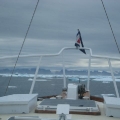
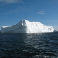
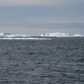
We are on the way to Iqaluit and we are running into bands of 90% ice. So far we have found leads through each band. The Coast Guard says that so far one small boat has left Iqaluit (3 days ago) and that no boat has come in without ice breaker support. They think we can make it if we are careful. We will be, though we won’t arrive until tomorrow.

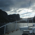
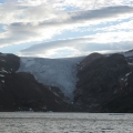
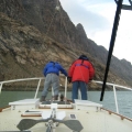
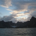
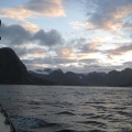
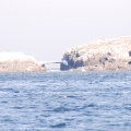
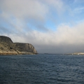
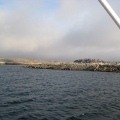
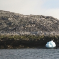
We tried to anchor on the south shore of Frobisher Bay but the bottom was slick rock and was of no avail. The scenery was a 10! It was a combination of Yosemite, the Grand Tetons, and Glacier Bay all in one package. Picture a fiord with El Capitan at the entrance, a large glacier at the head with jagged peaks with snow patches in between.
Headed to Iqaluit

Sunday, July 27th, 2008

We are off to Iqaluit (63 deg 43.9 W, 068 deg 30.9 W) for repairs. The main engine wouldn’t start this morning and we are using our get home motor. We’re wondering if it is all part of dousing the engine room 3 times; twice with watermaker failure, and once with the wet exhaust leak. We will probably be in Iqaluit for a week to fly in parts, repair etc. In the meantime, more ice will melt. Please pray for all to come together this week, so that we again have a 100% operational vessel and will be able to resume our trek north next week.

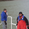
The whole crew is in favor of this. We are all fine; warm and well.

About that map

Sunday, July 27th, 2008

I was talking to Scott the other day about the map. Specifically how much longer the distances traveled appear recently compared to earlier segments, and yet, how it doesn’t seem possible that Geraldine will finish the trip on time when looking at the map.

The answer to all these questions is that the map on the website is Mercator Projection of the world. It is often used because it accurately shows land shapes, and also shows compass headings as straight lines. On other types of maps, following a northwest course results in a curved line. Anyhow, the disadvantage of the Mercator Projection, is that it distorts the scale of land near the poles — the farther north and south you go, the more the map shows features larger than it should be compared to features at the equator.

To put that in context of the Northwest Passage, Greenland is not really as big as all of North America, it is only slightly larger than Mexico. So the farther north our adventurers travel, the more distance they will cover on the map each day (assuming they don’t slow down!). This will allow them to finish the trip on time!

For more on the Mercator Projection visit wikipedia:
http://en.wikipedia.org/wiki/Mercator_projection

Day of Rest

Saturday, July 26th, 2008

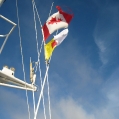
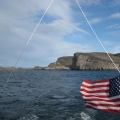
We stayed put all day and rested, worked radio issues etc. I understand the SSB radio a lot better but am not sure we are any better off. Much of the ice seems to be gone as we look out; we’ve been quite secure here. We raised the Nunavut flag today in a very “informal” ceremony. Charlotte, Pat’s Admin, is working spare parts and logistics; pray for devine connections.

I somehow forgot to report yesterday that Shane got off the boat and lept to a bergy bit. We took pictures of him and he us. We did go back & get him; he’s way too valuable to leave behind. (Rebecca, you will love this post – especially now that it is after the fact. After all, how many people have been adrift on an iceberg in the arctic? You will love the pictures.)

Water temperature is 36 degrees, air temp is 45.


I am with you and will watch over you wherever you go — Genesis 28:15